-2.png)
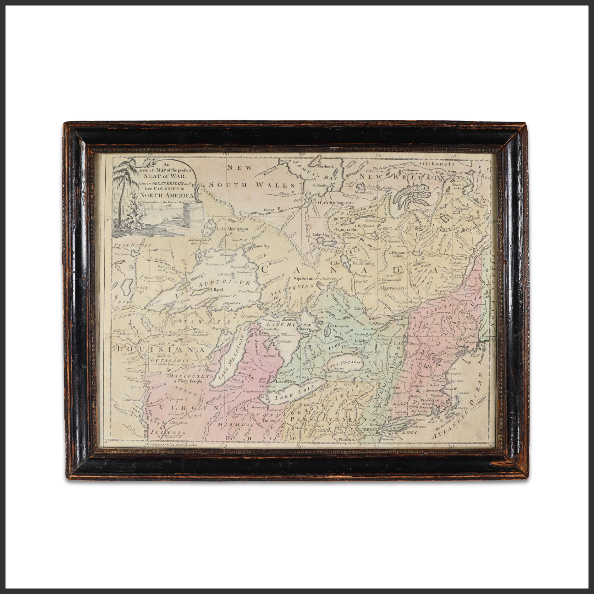
“An Accurate Map of the Present Seat of War between Great Britain and Her Colonies in North America” Engraved Map
London, circa 1776 - Frame: 12¼ x 16 inches; sight: 10 x 13¾ inches Engraved map of eastern North America depicting the British colonies, Canada, and the Great Lakes region, issued at the outset of the American Revolutionary War. The cartouche at upper left bears the title and frames the map as a contemporary view of the unfolding conflict, with colonial boundaries and key geographic features carefully delineated. Published in London for a British audience, the map reflects the imperial perspective at a moment when military and political developments in the colonies commanded intense attention. Such maps served both as informational tools and as visual records of a rapidly changing theater of war, documenting the geographic scope of the struggle that would culminate in American independence. Condition: Fine.